
UK & Ireland Explorer and Panorama
Digital map data in both vector and raster format.
Products
Want to know more?
Digital map data in both vector and raster format.
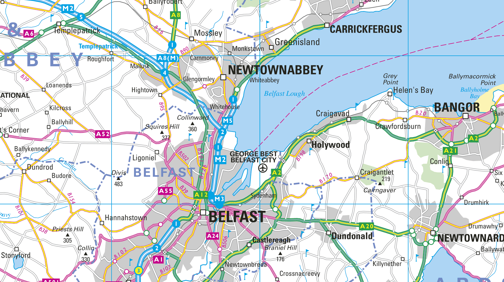
Our seamless vector map database of the United
Kingdom and Ireland at a scale of 1:200,000. Also includes the Channel Islands and the Isle of Man.
A digital map in raster format consistent in scale, content and specification covering England, Scotland, Wales, Northern Ireland,
the Channel Islands, Isle of Man, and Ireland at a scale of 1:200,000.
A digital map in raster format consistent in scale, content and specification covering England, Scotland, Wales, Northern Ireland,
the Channel Islands, Isle of Man, and Ireland at a scale of 1:800,000.
All Collins Bartholomew UK & Ireland map data products are continuously maintained by our dedicated team. Each year they make literally thousands of edits using a variety of high resolution sources. Sometimes, they even find themselves on the road undertaking GPS surveys to ensure what we offer, is accurate and up-to-date.