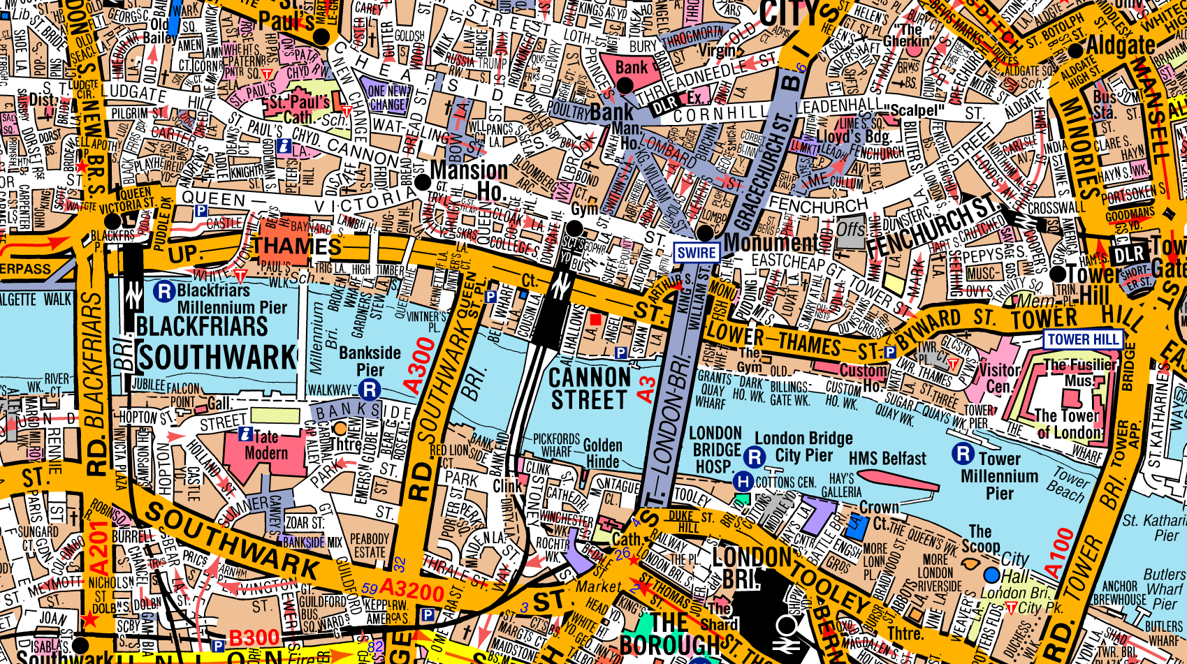
A-Z Map Data

The iconic A-Z map style is available as raster data at street level and road level for the whole of Great Britain.


A-Z Street

Our A-Z Street raster map data offers full seamless coverage of England and major parts of Wales and Scotland at a scale of 1:19,000. This iconic dataset is known for its look, clarity and level of detail at street level.


Maintained

Our team of dedicated geographic experts continuously maintain our A-Z map data. This is no easy task, yet they still manage to fast-track the most significant changes and create a data release every 3 months.


A-Z Road

Covering the whole of Great Britain at a scale of 1:250,000, A-Z Road offers up-to-date road atlas style mapping as digital map data in raster format.


The iconic, trusted map

Since 1936 when the iconic A-Z Atlas and Guide to London was first published, A-Z has been the trusted source for street maps and atlases in both paper and digital format.

Want to know more?