World Map Data

Our authoritative and trustworthy global map data products have a proven track record of meeting the foundation data requirements of businesses and organisations around the world.

Everything we offer is derived from data that has been created and maintained by our dedicated team of geographic experts.

Authoritative

Geopolitical depictions of international boundaries, disputed territories, place names etc., are made using the guidance of informed
external experts. This provides an accurate and impartial view of world political geography.

Cartographic

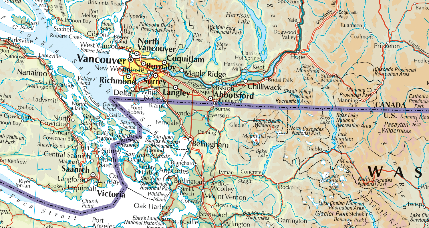
Global map data in vector (Explorer) and raster (Panorama) formats, that have been designed to create high quality maps of anywhere in the world.

Maintained

The team of geographic experts continuously monitor what’s happening in our world to ensure we keep our data as up-to-date as possible.

World

Global Coverage

The World data products offer global coverage at 1:750,000 and 1:3,000,000 scales. These products are built by our dedicated team from scratch. They make approximately 950 changes throughout the World each week.
This amounts to an average of nearly 50,000 updates each year.

Products

Want to know more?

Physical map of Canada and USA around Vancouver and Washington state.