Telecommunications
We offer a unique collection of global mobile coverage maps that are sourced directly from network operators.

GSMA
As the official mapping partner of the GSMA, we have been supporting them and their members with network coverage maps since 2010.

Coverage Maps
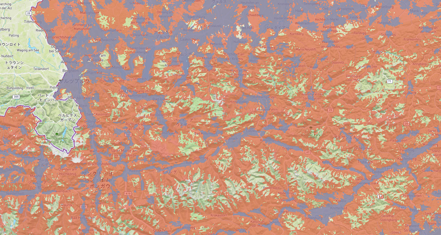
Over 1,000 coverage maps that show the true network footprint of many Mobile Network Operators (MNOs) from around the world.

Web based maps
Beautiful interactive mobile coverage maps showing individual networks for most operators in the world. Easy to deploy on any website, fully customisable and once integrated, with minimal maintenance required on the client’s side.

Data
An aggregated representation of the area covered by mobile networks around the world. Supplied in raster format and which has been created from submissions made directly to us, or the GSMA, from network operators around the world. Our catalogue includes historical data spanning many years.

GSMA Members
If you are a member of the GSMA and would like to display your mobile network coverage on gsma.com, we would be delighted to hear from you.
Related Products and Services
Want to know more?