UK & Ireland Explorer
Technical Detail
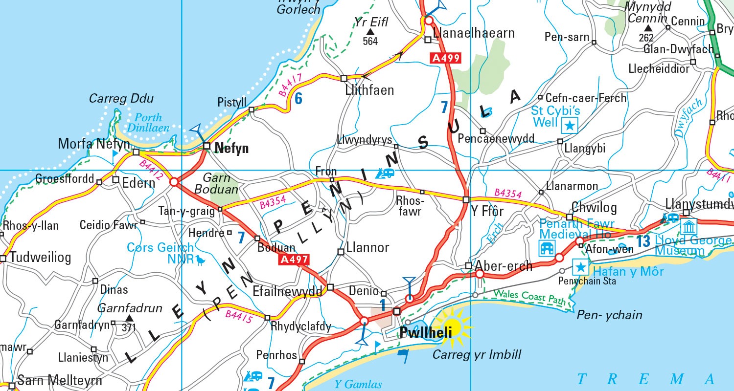
The Data
Collins Bartholomew’s UK & Ireland Explorer is a seamless digital map database of the United Kingdom and Ireland which consists of 35 feature classes, each containing either polygon, line or point geometry types. Designed and maintained by the team behind the prestigious Times Comprehensive Atlas of the World, the accuracy and authority of the content is second to none.
The rich feature coding supports complex GIS applications, where detailed knowledge of a particular location or feature can be found instantly. For example, there are over 36 river classifications and over 37 road classifications providing detailed information.
Administrative boundaries are rigorously checked and verified in order to give an accurate picture of UK and Ireland geography as it stands today.
Accented characters are rendered in ISO 8859-1 Latin-1 format by default.
This product is used in a variety of applications and institutes such as academic research, creation of maps for television broadcast, defence and strategic planning, the production of customised printed and web-based mapping and location-based queries.
Geographic Coverage
The UK & Ireland Explorer vector product covers the following countries: England, Scotland, Wales, Northern Ireland, Ireland, and offshore islands such as the Isle of Man and the Channel Islands.
Data Format – Vector
Vector data for ESRI users is supplied as shapefiles. For MapInfo users, data is supplied in either TAB or MID/MIF format. Other formats are available on request.
Coordinate Information
The data is supplied in British National Grid (WKID: 27700) by default. Other coordinate systems are available on request.
Sources and Viewing Scales
The UK & Ireland Explorer vector dataset was originally captured from copyright-free, compiled map sources at 1:250,000 scale, but has been updated using higher resolution sources including satellite imagery, aerial photography, and GPS survey. More recently, it has also used Open Data from the Ordnance Survey and the Land & Property Services (LPS) in Northern Ireland.
Contains Ordnance Survey data © Crown copyright and database right (since 2010))
Contains LPS Intellectual Property © Crown copyright and database right (since 2016).
This information is licensed under the terms of the Open Government Licence (http://www.nationalarchives.gov.uk/doc/open-government-licence/version/3).
The optimum scale range used for cartographic output is between 1:150,000 and 1:250,000.
Feature Class Descriptions
| Feature Class | Geometry | Description |
| AdmA | Polygon | Administrative areas |
| AdmA_Cntry | Polygon | “Country” extents |
| AdmL | Line | Administrative boundaries |
| AirP | Point | Airports |
| ContA | Polygon | Height bands for hypsometric colouring. Heights are in metres. |
| ContL | Line | Contours. Heights are in metres. |
| DistP | Point | Road distance markers and numbers |
| DzoA | Polygon | Danger zones |
| FpkA | Polygon | Forest Parks |
| GaelA | Polygon | Gaeltacht – Predominant Irish-speaking region |
| GridA_100k | Polygon | 100km grid squares |
| GridA_10k | Polygon | 10km grid sqaures |
| GridL_100k | Line | 100km grid outlines |
| GridL_10k | Line | 10km grid outlines |
| HtsP | Point | Features with height, e.g. mountain summits |
| LcoA | Polygon | Landcover, i.e. areas of woodland and marsh |
| LnsL | Line | Miscellaneous line features, e.g. long distance paths |
| MetA | Polygon | Metropolitan counties |
| NpkA | Polygon | National parks |
| NtrA | Polygon | Areas owner by the National Trust (Great Britain only) |
| PtsP | Point | Points of interest |
| RdsL | Line | Roads |
| RdsP | Point | Point features associated with roads, e.g. tolls |
| RfsL | Line | Railways and ferries |
| RfsP | Point | Points associated with railways or ferries, e.g. tunnels |
| RpkA | Polygon | Regional parks |
| SanA | Polygon | Sand composed areas |
| ScaA | Polygon | Scenic areas |
| TwnP | Point | Towns, coded by status and population |
| TxtL | Line | Arcs representing curved map text |
| TxtP | Point | Points representing location of map text |
| UrbA | Polygon | Urban area extents |
| WatA | Polygon | Water features with areal extent, e.g. lake |
| WatL | Line | Water features with linear extent, e.g. river |
| WatP | Point | Water features with point location, e.g. waterfall |
Feature Class Attributes
| Feature Class Attributes Field | Type | Description |
| ADM?_CODE | Number | A unique numerical identifier for the 1st order, 2nd order, or 3rd order administrative region that the feature is associated with |
| ADM? | Text | The name of the 1st order, 2nd order, or 3rd order administrative region that the feature is associated with |
| ALT_NAME | Text | Alternative name of a feature |
| ANGLE | Number | Used to provide orientation for a cartographic point symbol |
| CODE | Text | Feature code |
| CODE_DESC | Number | A full textual description of the feature code (CODE) |
| CNTRY_CODE | Number | A unique numerical identifier for the country that the feature is associated with |
| COUNTRY | Text | Country that a feature is associated with |
| E_ROUTE | Text | European road number (E roads) – Ireland only. |
| GRAPHIC_ID | Text | A unique identifier for every feature in the data |
| HEIGHT | Number | Height above sea level, in metres |
| LINK_ID | Number | A unique numerical identifier for a feature’s name |
| MAPTEXT | Text | Name of feature as it appears on published mapping |
| NAME | Text | Full feature name |
| POPULATION | A settlement’s population | |
| PRIORITY | Text | Used for under/overbridges on roads, paths and railways. (L – low, M- medium, H – high) |
| ROADNO | Text | Road number (M, A and B roads). |
| TAG | Text | Concatenated field made up of Code and Priority fields. |
| TEXTCODE | Text | A generalised textual description of the feature code (CODE) |
| TYPE | Text | Settlement type, e.g. town, village, suburb |
Product Update Cycles
The Collins Bartholomew UK & Ireland Explorer dataset is released annually in April.
Quality Standards
Collins Bartholomew takes the greatest of care in assuring the high quality of our data. The data is constantly being updated and revised, with an average of 40,000 name edits each year.
All of our database updates are thoroughly researched by our highly dedicated in-house team of professional cartographers and information researchers.
We also use external experts, specialist organisations, official organisations, agencies, government departments and business offices to assist in the information gathering process.
Policy changes (e.g. international boundary changes, new country depiction, name changes) are informed by external experts. For advice on name forms we look to the PCGN (the UK government’s Permanent Committee on Geographic Names for British Official Use) and BGN (US Board on Geographic Names) plus of course local/country specific information. From this we would make our decision on the ‘de facto’ stance and apply geographical expertise to work out the details.
Licensing
UK & Ireland Explorer is available as a standalone dataset that you can download and store locally, or it can be accessed via one of our secure web services. Whichever you choose, our licence fees are based on the number of concurrent users with fees staring from £1,495 per annum.