UK & Ireland Panorama 800K
Technical Detail
The Data
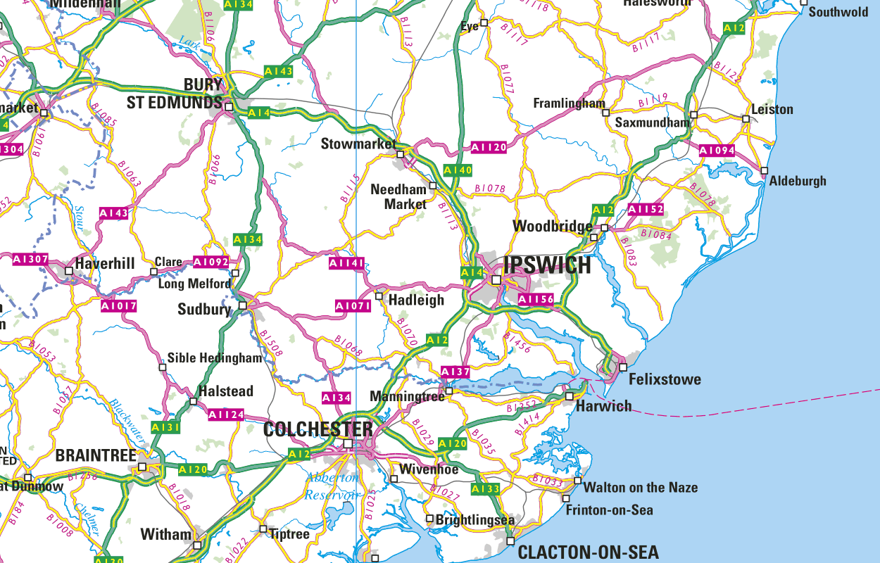
Collins Bartholomew’s UK & Ireland Panorama 800K is a UK and Ireland digital map in raster format, consistent in scale, content and specification covering England, Scotland, Wales, Northern Ireland, the Channel Islands, Isle of Man, and Ireland.
The area has been divided into 79 tiles, each tile being 100km x 100km in size, and named according to the grid letters of the Ordnance Survey National Grid reference system. The tiles are designed to butt at the edge with no overlap.
Data Format – Raster
UK & Ireland Panorama 800K is supplied in GeoTIFF format meaning that the coordinate system and extent information is embedded in the file header. Associated georeferencing files are included in separate folders should you require ESRI TFW or MapInfo TAB world files. Simply use these by copying the necessary files into the folder containing the TIFFs.
The TIFF files are available in two colour depths: 8 bit (256 colours) or 24 bit (16.7 million colours). The 8 bit option is more suitable for use on the web whereas the 24 bit option is best used when printing. Anti-aliasing is used in both versions.
All the images are generated entirely by digital methods with no optical scanning involved. The colours should be consistent throughout the complete set of images.
Sources and Viewing Scales
UK & Ireland Panorama 800K is created directly from Collins Bartholomew’s UK & Ireland Explorer vector data. This data was originally captured from copyright-free, compiled map sources at 1:250,000 scale, but has been updated using higher resolution sources including satellite imagery, aerial photography, and GPS survey. More recently, it has also used Open Data from the Ordnance Survey and the Land & Property Services (LPS) in Northern Ireland.
· Contains Ordnance Survey data © Crown copyright and database right (since 2010))
· Contains LPS Intellectual Property © Crown copyright and database right (since 2016). This information is licensed under the terms of the Open Government Licence (http://www.nationalarchives.gov.uk/doc/open-government-licence/version/3).
The optimum scale range used for cartographic output is between 1:500,000 and 1:800,000.
Product Update Cycles
The Collins Bartholomew UK & Ireland Panorama 800K is released annually, usually in March.
Quality Standards
Collins Bartholomew takes the greatest of care in assuring the high quality of our data. The data is constantly being updated and revised, with an average of 40,000 name edits each year.
All our database updates are thoroughly researched by our highly dedicated in-house team of professional cartographers and information researchers.
We also use external experts, specialist organisations, official organisations, agencies, government departments and business offices to assist in the information gathering process.
Policy changes (e.g. international boundary changes, new country depiction, name changes) are informed by external experts. For advice on name forms we look to the PCGN (the UK government’s Permanent Committee on Geographic Names for British Official Use) and BGN (US Board on Geographic Names) plus of course local/country specific information. From this we would make our decision on the ‘de facto’ stance and apply geographical expertise to work out the details.
Licensing
UK & Ireland Panorama – 800K is available as a standalone dataset that you can download and store locally, or it can be accessed via one of our secure web services. Whichever you choose, our licence fees are based on the number of concurrent users with fees staring from £295 per annum.